Covivio Newsletter
Understanding tomorrow's city
- Find out all the Covivio news every month
- Discover our latest projects: offices, residential, hotels
- Decipher the city and its challenges with our Expert Views


Experts

Covivio
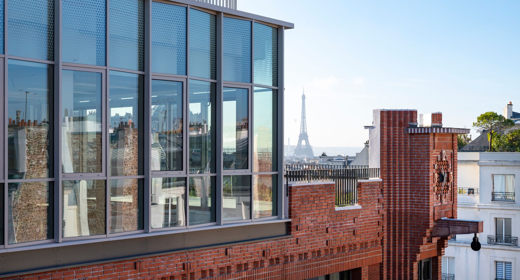
New windowParis, Milan, Berlin, Lyon, Barcelona, Düsseldorf… for 20 years Covivio has operated at the heart of Europe’s foremost cities. How do they differ? What do they have in common? What challenges will they face over the coming years? What are their urban trajectories? Through a series of dual urban portraits, we invite you to discover these cities whose common denominators are Covivio and Europe.
Amsterdam is known as the Venice of the North, for its vast network of canals, the three largest of which – Herengracht, Prinsengracht and Keizersgracht – are UNESCO World Heritage Sites, as is the exceptional City of the Doges. Today, the two cities, which are not bathed by the same sea, are facing similar challenges, as global warming is expected to raise sea levels by around 1 metre, threatening their very existence. Yet the two cities had little in common at the outset.
Why build a city on the sea? To protect and isolate themselves, using the water as a bulwark? Or to promote trade by boat? Two opposing strategies, illustrated by Venice and Amsterdam.
Venice was born in the 5th century. Its inhabitants settled in the lagoon on small islands with sandy, clayey soil to protect themselves from invasions by the Huns, Goths and Lombards. The city’s purpose was to offer its inhabitants a protective haven that was very difficult to access. Little by little, they conquered the islets by planting millions of wooden stakes on which rested stone blocks to support the foundations of their homes. They dug canals that had to be dredged regularly to prevent silting up. This legacy lives on today, with a single bridge, the Pont de la Liberté, linking the city to the mainland and the airport.
On the contrary, Amsterdam’s layout is closely connected to all the region’s and the country’s transport networks. When the canals were built in the seventeenth century, the Dutch Golden Age, the capital of the Netherlands was an essential commercial crossroads, communicating with all parts of Europe and the world, by sea or by river, particularly the Rhine. The concentric layout of the canals and the narrow façades of the buildings facilitated access to the network for all traders and brought the warehouses closer to the merchants. The port was at the heart of the city’s layout and remained one of the most important in Europe until the rise of Rotterdam at the end of the 19th century.
The fact that the city has been conquered from the water inevitably constrains the development of the two cities, but the phenomenon is particularly striking in Venice, whose shape has changed very little since the Renaissance. The main developments have been on the sea, such as the Isola del Tronchetto in the 1960s, or have consisted of port or industrial developments, such as Porto Marghera on the mainland, which accommodates the city’s industrial activities and establishes a real separation of activities. The area was linked to Venice in 1933 by the Liberty Bridge. But could Venice be a model for the future? Some architects, such as Jan Gehl, think so. With its traffic easily accessible to pedestrians, Venice would be an example of the human-sized city he advocates.
Amsterdam, for its part, has been able to expand into its hinterland, particularly to the south, with the construction of a vast business district, Zuidas, which is also home to a large number of top-of-the-range homes. Amsterdam has all the hallmarks of a dynamic European metropolis based on a wide range of activities: tourism, international trade, financial hub, etc.
With over 25 million tourists a year, and more than 120,000 a day in summer, Venice is facing the full force of the consequences of over-tourism. Tourism is driving away the city’s inhabitants, who are being pushed out by rising property prices and a lack of job opportunities. There were more than 175,000 in the 19th century, now there are fewer than 50,000. Travel by crowded boats is sometimes complicated, pollution and waste management are a problem, and everyday shops are giving way to souvenir shops. The city is introducing a number of measures to combat the flooding, including the introduction, in 2024, of registration to enter the city. On certain days, the number of entrances is even limited and a fee is charged. Since 2021, the largest tourist boats have no longer had access to the most fragile areas of the lagoon, after UNESCO expressed its concern about the preservation of the city’s heritage.
This mono-economy has been widely criticised: “What needs to be preserved is the life of cities. A city’s historical and cultural heritage should be seen as a common good, the benefits of which should first and foremost be guaranteed to its inhabitants, who must be able to continue living there,” explained Giacomo-Maria Salerno, author of Pour une critique de l’économie du tourisme (For a critique of the tourism economy) to the media outlet Café Babel.
The lagoon also faces a natural threat: rising water levels linked to global warming. In 2019, the city experienced an exceptional episode of acqua alta (high tide) of 1.83m, which caused a great deal of damage. Since 2020, the MOSE dykes have prevented further exceptional events. Located at the three main entrances to the lagoon, they block the rise in water level when it exceeds 1.10 metres and up to 3 metres. However, this system also has its drawbacks: it does not allow boats to circulate, so it cannot be permanently activated. It is even less suited to the risk of subsidence on the city’s islands, which have lost 25 cm in height since the beginning of the 20th century. It is therefore necessarily a temporary solution, and the coming decades will be crucial.
The Dutch, on the other hand, have been world-renowned for their water management for centuries, the country having been built in part by conquering land from the sea. Since the terrible floods of 1953, the Delta Plan has been protecting residents and the surrounding area from rising water levels, thanks to a formidable system of dikes, dams and locks. The city is innovating to better allow rainwater to infiltrate and is upgrading its systems for pumping rainwater into the sea, or building entirely floating districts such as Schoonschip. Experts such as Ariella Masboungi have praised Amsterdam’s great capacity for invention in her book Le génie d’Amsterdam : Opportunité, agilité, inventivité (Parenthèses, 2016). In particular, she praises the city’s propensity to involve residents in urban planning decisions as part of a genuine democratic process, involving all stakeholders in debates about the city of tomorrow.
For Dutch architect Koel Olthuis, building on water could be the answer to many urban challenges. His agency, Waterstudio, specialises in floating constructions. For him, this type of construction is a way of “expanding the urban fabric” and producing a city that is more resilient to climate change. For example, he imagines a conurbation in which the floating elements are mobile, so that the city can evolve according to its needs. Could Venice or Amsterdam turn their major constraints into a decisive advantage?